

Vantor (Formerly Maxar Intelligence)
Jurupro Sdn. Bhd. is proud to be an authorized reseller of Vantor, the global leader forging the new frontier of spatial intelligence. Our advanced geospatial platforms and data suites empower users to secure critical missions, optimize global navigation, drive ecological preservation, and accelerate emergency disaster responses.
Product Specifications & Capabilities
| Feature | Details |
| Electro-Optical Constellation | WorldView Legion, WorldView-3, WorldView-2, WorldView-1, and GeoEye-1. |
| Imagery Resolution | Native 30 cm class resolution with 15 cm HD derived imagery capabilities. |
| Vantor Hub | Programmatic API discovery and ordering interface (formerly known as MGP Pro). |
| Vivid Basemaps & Terrain | Ultra-realistic 2D vector features and 3D surface models with 3m absolute accuracy globally. |
| Mission Solutions | Raptor (GPS-denied 3D navigation suite) and Sentry (persistent activity monitoring). |
| Daily Collection Capacity | Over 7 million sq km of daily imaging capacity (~3.5 million sq km at native 30 cm). |
WorldView Legion Satellites
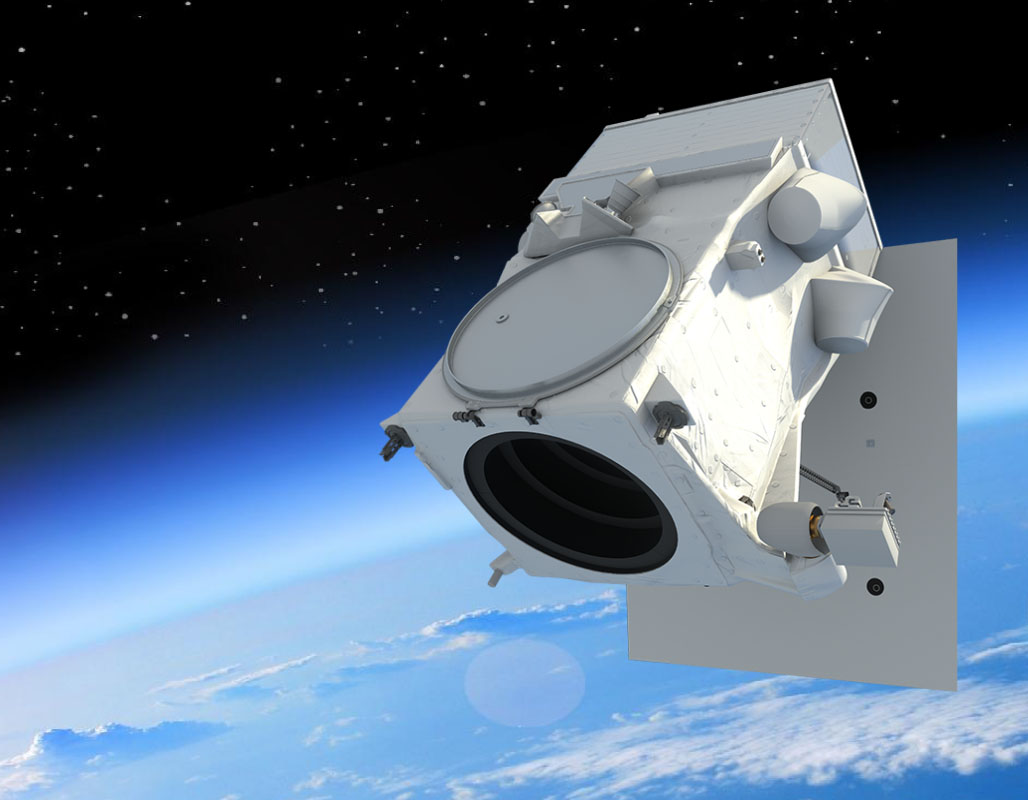
WorldView Legion is the next generation of Vantor’s industry-leading Earth observation constellation. WorldView Legion is a fleet of high-performance satellites that triples Vantor’s capacity to collect 30 cm class imagery, with more than 6 million sq km collected per day when combined with the entire Vantor™ constellation. With a mix of sun-synchronous and mid-inclination orbits, WorldView Legion dramatically expands Vantor’s ability to revisit high-interest areas to better inform critical, time-sensitive decisions.
Vivid™ Terrain Data Products
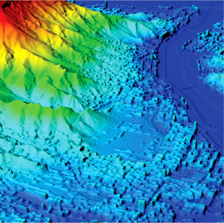
All Vivid Terrain products are based on commercial satellite imagery and built using industry-leading, automated 3D modeling algorithms.
- Vivid Terrain Digital Surface Model (DSM), Vivid Terrain Digital Terrain Model (DTM), Elevation Bundle (DSM + DTM), Vivid Terrain 3D Surface Model (3DSM), Vivid Terrain True Ortho, and 3D Bundle (3DSM + DSM + True Ortho) are available from Vantor Hub UI and API.
- DTM, DSM and Elevation Bundle are available with four post-spacing options, 0.5 m, 1 m, 2 m, and 4 m.
- Industry leading accuracy: Absolute: 3 m LE90, 3 m CE90, Relative: 1 m LE90, 1 m CE90 at 0.5 m post-spacing
All Vivid Terrain products are based on commercial satellite imagery and built using industry-leading, automated 3D modeling algorithms.
- Vivid Terrain Digital Surface Model (DSM), Vivid Terrain Digital Terrain Model (DTM), Elevation Bundle (DSM + DTM), Vivid Terrain 3D Surface Model (3DSM), Vivid Terrain True Ortho, and 3D Bundle (3DSM + DSM + True Ortho) are available from Vantor Hub UI and API.
- DTM, DSM and Elevation Bundle are available with four post-spacing options, 0.5 m, 1 m, 2 m, and 4 m.
- Industry leading accuracy: Absolute: 3 m LE90, 3 m CE90, Relative: 1 m LE90, 1 m CE90 at 0.5 m post-spacing
The Vantor Hub (Spatial Intelligence Platform)
Access the highest-quality intelligence on-demand
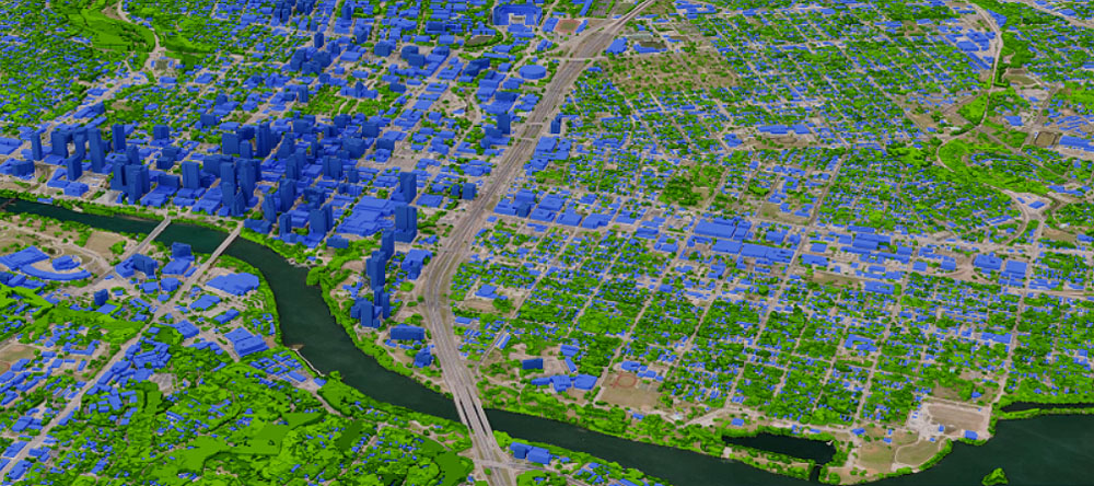
The Vantor™ Hub web portal gives you on-demand access to 20+ years of the highest-quality satellite imagery—up to 15 cm resolution and with 5 m CE90 accuracy—as well as our global-scale Vivid™ Mosaic basemaps and Vivid Terrain 3D data.
All 2D and 3D content is available for streaming or offline access, and the Vantor Hub also includes advanced change monitoring capabilities for advanced monitoring and intelligence workflows.
To learn more, please check Vantor